US deletes post featuring map of India showing PoK, Aksai Chin as Indian territory
The Office of the United States Trade Representative (USTR) has deleted a post on X that featured a map of India depicting the entire region of Jammu and Kashmir and Ladakh — including Pakistan-occupied Kashmir (PoK) and Aksai Chin — as Indian territory.
The graphic, shared on February 7 as part of an announcement on the India–US interim trade framework agreement, drew widespread attention as it departed from the longstanding American practice of marking PoK and Aksai Chin as disputed areas.
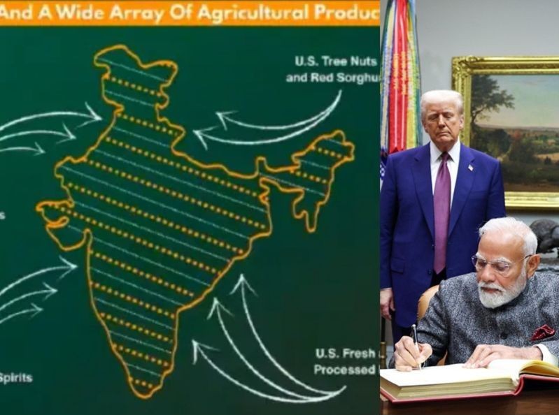
The map illustrated India’s proposed tariff reductions on US exports under the bilateral trade understanding.
However, unlike previous US government maps that used demarcation lines to indicate disputed regions, the now-removed graphic showed the full territory in line with India’s official map.
Departure from past US practice
Historically, US government representations of the region have marked areas under Pakistani and Chinese control as disputed. The USTR’s version did not carry such markings and instead depicted the entire territory as part of India.
The move triggered speculation among analysts. Some described it as a deliberate geopolitical signal toward New Delhi at a time when Washington’s relations with Pakistan and China remain strained. Others suggested it may have been an oversight.
The development also comes amid renewed strategic alignment between India and the United States in the Indo-Pacific, after recent tariff tensions had briefly complicated trade discussions.
Ending the debate, the USTR has since removed the post from its official X account. No formal clarification has yet been issued explaining the deletion.
India’s position
India has consistently maintained that the entire Union Territory of Jammu and Kashmir and Ladakh “has been, is and will always be an integral and inalienable part of India.” New Delhi also asserts that Aksai Chin is an integral part of Indian territory.
Pakistan and China, however, lay claims to parts of the region, making cartographic depictions of the area diplomatically sensitive.
IBNS
Senior Staff Reporter at Northeast Herald, covering news from Tripura and Northeast India.
Related Articles

FAA reopens El Paso Airspace in Texas hours after announcing 10-day closure over drone threat
The Federal Aviation Administration (FAA) on Wednesday morning reopened the airspace around El Paso International Airport, just hours after announcing a 10-day shutdown that would have grounded all flights to and from the Texas border city.

Thailand horror: One dead, two injured in school shooting, teen attacker arrested
An 18-year-old was arrested after he shot dead a school director and injured two others before taking hostages at the education institute in Hat Yai district of Thailand on Thursday.

US deletes India trade deal map showing PoK, Aksai Chin as Indian territory
The United States Trade Representative (USTR) has taken down a social media post announcing the India–US trade framework after it featured a map depicting the entire region of Jammu and Kashmir and Ladakh — including Pakistan-occupied Kashmir (PoK) and Aksai Chin — as part of India.

‘Used and dumped like toilet paper’: Khawaja Asif admits Pakistan’s US alliance was a ‘historic mistake’
Pakistan’s Defence Minister Khawaja Asif has delivered one of the most candid acknowledgements yet of Islamabad’s controversial alignment with the United States, accusing Washington of exploiting Pakistan for strategic gains before abandoning it.
Latest News

'It is Congress who sold nation': Nirmala Sitharaman slams Rahul Gandhi for 'sold Bharat Mata' remark

FAA reopens El Paso Airspace in Texas hours after announcing 10-day closure over drone threat

Salman Khan, Ajay Devgn, other industry figures offer support to Rajpal Yadav after he surrenders in jail

Bengal teacher's arrest after mother's eye donation sparks outrage, raises alarm over cornea drive

