
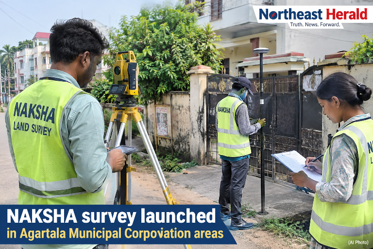
The National Geospatial Knowledge-Based Land Survey of Urban Habitations (NAKSHA) project has been launched on a pilot basis in the Agartala Municipal Corporation (AMC) area, marking a significant step towards strengthening urban land records and improving property-related services.
The first phase of the survey covers approximately 31.05 square kilometres, encompassing 25 revenue mouzas and 35 municipal wards, either fully or partially. Survey operations commenced on Wednesday from Agartala Sheet No. 13 Mouza, with trained survey teams carrying out field surveys, ground-level verification, and collection of property-related data using advanced technologies such as Electronic Total Station (ETS) and Global Navigation Satellite System (GNSS).
The pilot project aims to develop an accurate and integrated geospatial database of urban properties by combining spatial and property-related information. The initiative is expected to enhance urban land records, promote transparency, facilitate better urban planning, and improve the delivery of property-related services.
Based on the information collected and verified during the survey, Urban Property (UrPro) Cards will be prepared for the surveyed properties.
The survey is being conducted jointly by the Directorate of Land Records and Settlement, State Project Management Unit (SPMU)-NAKSHA, Agartala Municipal Corporation, and concerned field-level officials.
The Directorate of Land Records and Settlement has appealed to residents living within the designated survey area to extend full cooperation to the survey teams during field verification and data collection to ensure the successful implementation of the project.
The information was released in a press statement issued by the Directorate of Land Records and Settlement.